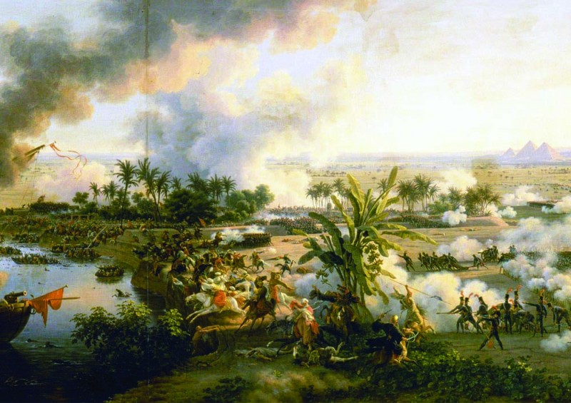
Flavius Menu of N-D-L-R just wrote a very interesting post about the "Description de l'Egypte", a series of 23 volumes published after the failed … [Read more...]
Cartographies of Reality and Fiction
Maps connect information to space, depicting real and imagined territories on a flat surface. Over time, maps became increasingly more detailed and precise: the scale was adjusted, symbols became conventions, standards were set. However, this evolution didn’t stop the map to become a complex representational tool or an artistic medium.
For some artists, the cartographic representation became a means to spatialize a mental realm, a metaphorical instrument to simulate an unexisting territory.
Exploring the interiors of London Underground/DLR stations
Andrew Godwin, a British programmer, is working on a set of navigable 3d maps of London's tube stations. This is arguably an early version of … [Read more...]
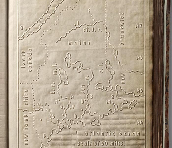
Atlas for the Blind, 1837
From the spectacular David Rumsey Map Collection, the 1837 "Atlas of the United States Printed for the Use of the Blind", embossed heavy paper … [Read more...]
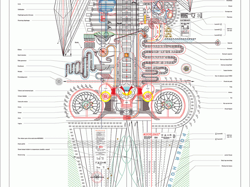
MinJeong Ahn, An Autobiography in Diagrams
Ahn Min Jeong writes: "My work appears to be emotionless and analytic, but when you take a close look at it, the majority of my work employs motifs … [Read more...]
- « Previous Page
- 1
- …
- 4
- 5
- 6
- 7
- 8
- …
- 12
- Next Page »


