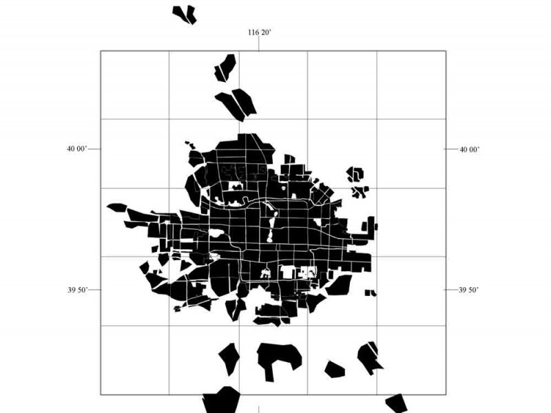
Berkeley's Global Metropolitan Observatory is a site focusing on large trasformation of cities. Using aerial imagery mainly coming from the Landsat 7 … [Read more...]
Cartographies of Reality and Fiction
Maps connect information to space, depicting real and imagined territories on a flat surface. Over time, maps became increasingly more detailed and precise: the scale was adjusted, symbols became conventions, standards were set. However, this evolution didn’t stop the map to become a complex representational tool or an artistic medium.
For some artists, the cartographic representation became a means to spatialize a mental realm, a metaphorical instrument to simulate an unexisting territory.
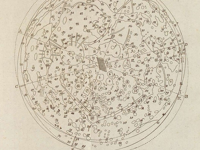
Johann Leonhard Rost’s “Astronomisches Handbuch” (1718)
This is one the first (if not the very first) practical astronomy books published in Germany. "Astronomisches Handbuch" appeared in 1718, edited and … [Read more...]
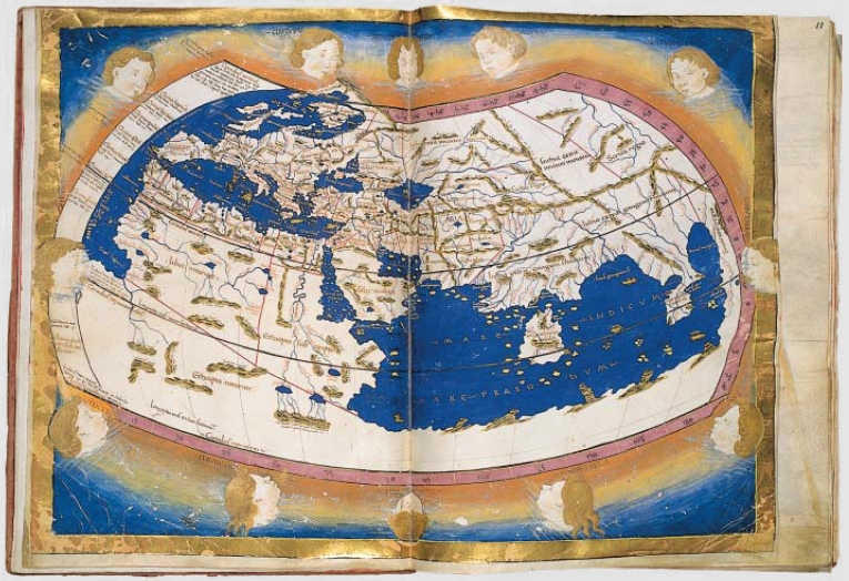
How the World was Imagined: Early Maps and Atlases
Depictions of the world from the Iron Age to the Age of Discovery and the emergence of modern geography during the early modern … [Read more...]
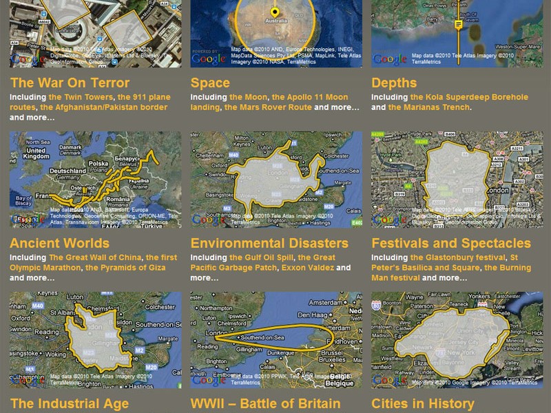
How Big Really?
BBC has just released "How Big Really?", a site that allows for the overlay of the dimension of an event onto another geographical territory. That … [Read more...]
- « Previous Page
- 1
- …
- 5
- 6
- 7
- 8
- 9
- …
- 12
- Next Page »


